
Mission Bend Previous Residents Sources
Mission Bend’s address history is split between Harris and Fort Bend County systems. First identify the parcel’s county, then preserve the durable identifier used by that system. Harris work can combine HCAD, Harris GIS, and the Harris County Clerk real-property index. Fort Bend work can combine FBCAD, Fort Bend GIS, and the Fort Bend County Clerk official-public-records index. For Mission Bend property research, assessment, mapping, and recorded instruments have different purposes. They should be compared, not treated as interchangeable proof of physical presence.
| Source | Years it covers | Where held | What it shows |
|---|---|---|---|
| Fort Bend official public records | Historical records can reach as early as 1821 | Fort Bend County Clerk | Recorded instruments, parties, filing data, and document types |
| Harris real-property images | From November 1, 1960 | Harris County Clerk portal | Recorded real-property image access and index leads |
| Houston digital directories | 1866 through 1923 | Houston Public Library | Regional names, addresses, businesses, churches, and institutions |
| Houston holdings and later volumes | Selected holdings through 1986 | Houston Public Library and Texas State Library | Dated regional directory context |
| Fort Bend historical collections | Varies by collection | Library and Historical Commission | Newspapers, obituaries, deed, probate, burial, and census leads |
Mission Bend was established around 1980. For prior decades, Houston volumes and other regional materials can place a family or institution nearby, but not in a Mission Bend subdivision that had not yet developed. For a parcel-specific history, a dated deed, plat, appraisal record, directory address, newspaper item, obituary, probate file, or cemetery entry is stronger than a broad community-name search.
Mission Bend Parcel Keys First
A stable parcel key is the safest starting point for past residents research. Preserve the HCAD account and map facet on the Harris side, or the FBCAD Quick Ref ID and geographic ID on the Fort Bend side. Also capture the subdivision, section, lot and block, abstract or tract, plat book and page, and clerk instrument number. These identifiers survive more reliably than a postal label or a remembered street spelling on a Mission Bend parcel.
Compare owner, mailing, and situs fields carefully. A CAD record is an assessment and ownership lead, not proof that the owner occupied the property. A mailing address can belong to a trust, agent, business, or separate address. GIS supplies geometry and public layers. The clerk index supplies recording events. The deed’s legal description gives the more durable land description when an address was absent, changed, misspelled, or affected by a replat. That distinction is especially useful for a Mission Bend address with a different postal label.
- Legal description
- The recorded land description, often using subdivision, section, lot, block, or tract information rather than only a street address.
- Situs address
- The property location shown by an appraisal or mapping system, which can differ from a mailing address.
- Instrument number
- The clerk’s identifying number for a recorded document, useful for returning to the same record later.
Note: A Mission Bend postal label is an address clue, while the county parcel identifier is the better key for a historical chain.
Trace Mission Bend Previous Residents by Deed
Start the deed chain with the current parcel record, then work from the current grantee back to the earlier conveyance. A grantor is the party transferring an interest. A grantee is the party receiving it. The chain of title is the documented sequence of those recorded interests. It can establish a sequence of property transactions, but it does not establish that a named party lived at the address. Record the county on every row because some Mission Bend association sections involve both counties. A Mission Bend deed worksheet should preserve that split from the first search onward.
- Use the correct CAD record to collect the parcel key, legal description, tax year, and owner-of-record lead.
- Search that party, legal description, subdivision, lot and block, or instrument reference in the matching county clerk index.
- Open the deed image or official record route and record the grantor, grantee, recording date, instrument type, and prior-reference details.
- Search the prior seller as a grantee, then repeat the same document and legal-description checks backward.
- When an online image or index stops, use the clerk’s copy, counter, archive, or historical-index route instead of filling the gap with an unsupported match.
Fort Bend OPR accepts Party Name, Grantor, Grantee, Date Filed, Instrument Number, and Document Type. Its instructions use LASTNAME FIRSTNAME syntax. The Harris real-property index offers grantor, grantee, recording-date, subdivision or description, instrument, volume and page, section, lot, block, unit, abstract, tract, and related fields. Those alternate fields matter when the address itself does not retrieve a record.
The Harris County Clerk real-property index is the source for the Harris-side recorded-property route.
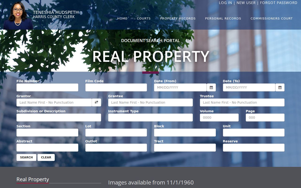
The available grantor, grantee, legal-description, and lot-and-block fields provide a safer backward trail than a name-only search.
Mission Bend Two-County Deed Trail
Mission Bend’s county split is not a minor detail. The Census CDP crosses Harris and Fort Bend Counties, and the Mission Bend HOA management certificate identifies sections in both counties. Search both clerk systems when the subdivision section, association certificate, legal description, or GIS layer indicates a split. Preserve the county with every deed, plat, declaration, and parcel result. A Mission Bend street can continue across the boundary while its clerk, appraisal district, tax districts, and court custodian change.
The Fort Bend County Clerk online-records route separates official public records, property-index, plat-index, court, probate, birth/death, and marriage routes. In its OPR instructions, a VIEW link opens a watermarked image, while clean copies are added to a cart. Plain copies are listed at $1 per page; certified copies are listed at $1 per page plus $5 certification. Check the current county fee information before ordering.
The Fort Bend County Clerk records page is the source for the county’s official-record and copy pathways.
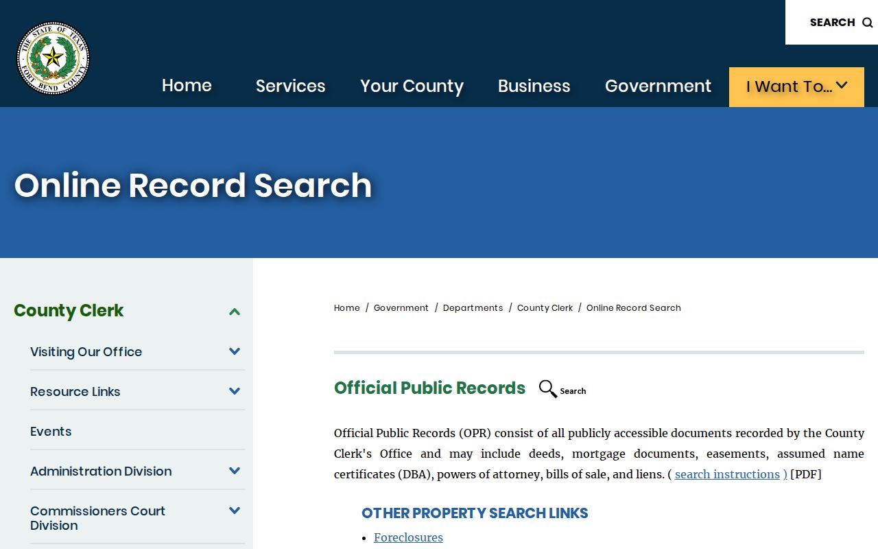
The county-specific entry points help keep a Fort Bend instrument from being confused with a Harris County parcel record.
Mission Bend Previous Residents Archive Gaps
Older record access is uneven. Harris records-management material identifies appraisal holdings from 1895 through 1997, HCAD material from 1998 through 2008, and HCAD systems from 2009 forward. A Harris archive plan identifies ongoing indexing of historical real-property records dating from 1836 through 1955 and calls the 1955 to 1960 transition difficult. The inspected Harris portal provides images from November 1, 1960. Those dates describe access paths, not a guarantee that every Mission Bend parcel has a complete online chain.
Fort Bend historical records can reach as early as 1821, but record type, survival, indexing, and image availability still vary. Historical preservation is distributed among clerks, the District Clerk Historical Documents Room, the Historical Commission, George Memorial Library, Houston collections, newspapers, and other repositories. A missing web result may mean that an index book, microfilm reel, archive appointment, clerk request, or paid copy route is required.
Note: State the exact county, date range, and missing access channel rather than treating an online gap as proof that no earlier record exists.
Mission Bend Plats and Replats
A plat, replat, correction deed, release, assignment, easement, or restriction can explain a change in an address history without marking a new household. Fort Bend official public records include deeds, mortgages, easements, powers of attorney, bills of sale, liens, and related instruments. Harris real-property search supports subdivision or description, instrument type, volume and page, section, lot, block, unit, abstract, outlot, tract, and reserve fields. Use these records to test a Mission Bend land-history change before attaching a person to it.
When the street address and the record disagree, compare the GIS point, CAD situs field, legal description, subdivision layer, lot and block, replat, and instrument number. Fort Bend directs new or changed address questions through its Physical Address Verification Form and CenterPoint coordination. Harris GIS uses StarMap roads and CenterPoint address data in its composite locator. Neither address-verification path is a person directory, but both can help explain why a current map label differs from an older document.
Mission Bend Past Residents in Directories
Directories, census indexes, newspapers, obituaries, cemetery records, and probate records provide the household layer that deeds cannot. A directory entry identifies a resident or contact, not necessarily an owner, and errors or omissions can occur. Houston’s digitized directories begin in 1866 and run through 1923, while Mission Bend’s development dates to around 1980. Treat early volumes as regional history. Later Houston holdings may supply a dated lead, but a volume’s presence does not guarantee Mission Bend street coverage or a Mission Bend household match.
Pair dated records in a simple flow: address and legal description, then a deed or plat, then the closest directory or census-index clue, then a newspaper, obituary, cemetery, or probate source if it fits. The Mission Bend city directory collections page describes the repositories and how to read a directory entry. Here, the collection serves one purpose only: testing the historical household trail at a specific address.
Houston Public Library’s digital city-directory collection is the source for the searchable regional directory run.
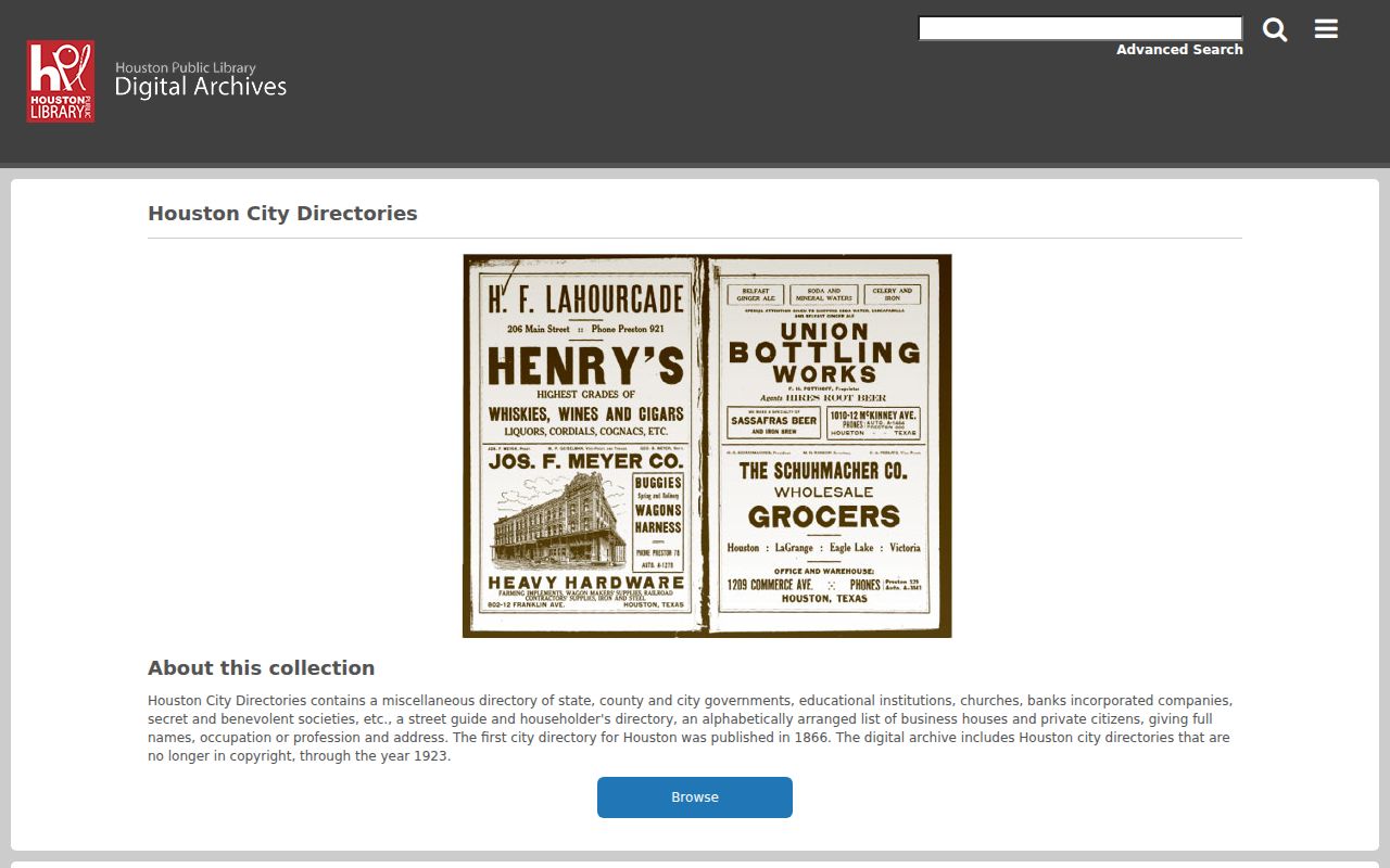
The collection can establish a dated regional lead, which still needs a parcel-specific or local historical record before it is connected to Mission Bend.
Mission Bend Previous Residents, Safely Interpreted
Fort Bend Libraries’ local-history department offers newspapers, census indexes, local histories, vertical files, microfilm, and obituary resources for Fort Bend and surrounding counties. A specific request naming the street, subdivision section, date range, surname, cemetery, or newspaper issue is more useful than a broad name search. Ask staff for the exact reel, index, scan format, copy price, and whether a neighboring-county source can be supplied through interlibrary loan.
The Fort Bend Historical Commission archive has category paths for court and census, burial, deed, probate, tax assessment, and Bible records. Search a relevant category before a broad keyword. Preserve the historical period, archive number, and whether the item is digitized or requires contact. Its burial and deed materials can extend a family-history trail, but every result remains a dated source lead.
Fort Bend Libraries’ genealogy and local-history page is the source for this collection and reference route.

Library staff and physical collections provide the handoff when a past-resident trail cannot be completed in a county portal.
The Fort Bend County Info Index Search is another local discovery route that should be tied back to its actual county custodian.
The index is a source-level starting point, while the county or archive record provides the material to cite.
Lawful use. Mission Bend address history supports family history, estate and heir research, or personal property curiosity. Do not use historical findings to track, harass, or harm a living person, and stop person-level linkage when a record is protected.